
[mkgmap-dev] finding out more about the size taken by elements in generated map
From Jozef Riha jose1711 at gmail.com on Fri Jan 28 13:43:10 GMT 2022
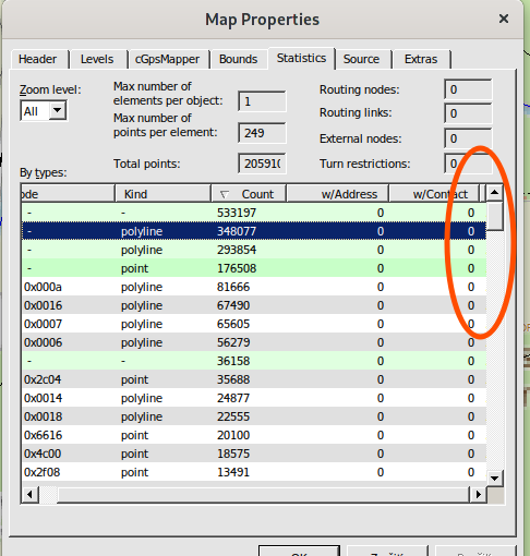
On Fri, Jan 28, 2022 at 12:04 PM Gerd Petermann <
gpetermann_muenchen at hotmail.com> wrote:

> Hi Jose,
>
> you probably didn't scroll to the right in the statistics view. Also note
> that you can select if you want to see the data for one level or all levels.
>

Hi Gerd,

actually I did but the memory column was hidden :-o

[image: obrázok.png]

Thank you - it's lot more useful with this data.


>
> Besides that it is really difficult to answer your questions.
> Labels are deduplicated, so each different label is only saved once in an
> IMG and the objects with that label are storeed with a ref.
> The size required size is that for the RGN data (which discribed the
> geometry) and the NET data which contains the labels, house numbers
> and other data and finally the NOD data which contains routing data.
> Garmin uses all kinds of compression methods to reduce redundancy, so
> it's  difficult to see an effect when you make small changes.
>

Thank you also for this piece - I kinda suspected the deduplication is
happening. Together with the compression it's likely not worth much to
exclude names when squeezing the map size then.

jose
-------------- next part --------------
An HTML attachment was scrubbed...
URL: <https://www.mkgmap.org.uk/pipermail/mkgmap-dev/attachments/20220128/5adc2582/attachment-0001.html>
-------------- next part --------------
A non-text attachment was scrubbed...
Name: obr?zok.png
Type: image/png
Size: 50564 bytes
Desc: not available
URL: <https://www.mkgmap.org.uk/pipermail/mkgmap-dev/attachments/20220128/5adc2582/attachment-0001.png>
- Previous message: [mkgmap-dev] finding out more about the size taken by elements in generated map
- Next message: [mkgmap-dev] Commit r4880: styleManual-20220126.patch by Ticker Berkin:
- Messages sorted by: [ date ] [ thread ] [ subject ] [ author ]
More information about the mkgmap-dev mailing list