
[mkgmap-dev] Map display detail in basecamp.
From Joao Almeida joaoha at gmail.com on Tue Sep 15 00:16:15 BST 2020
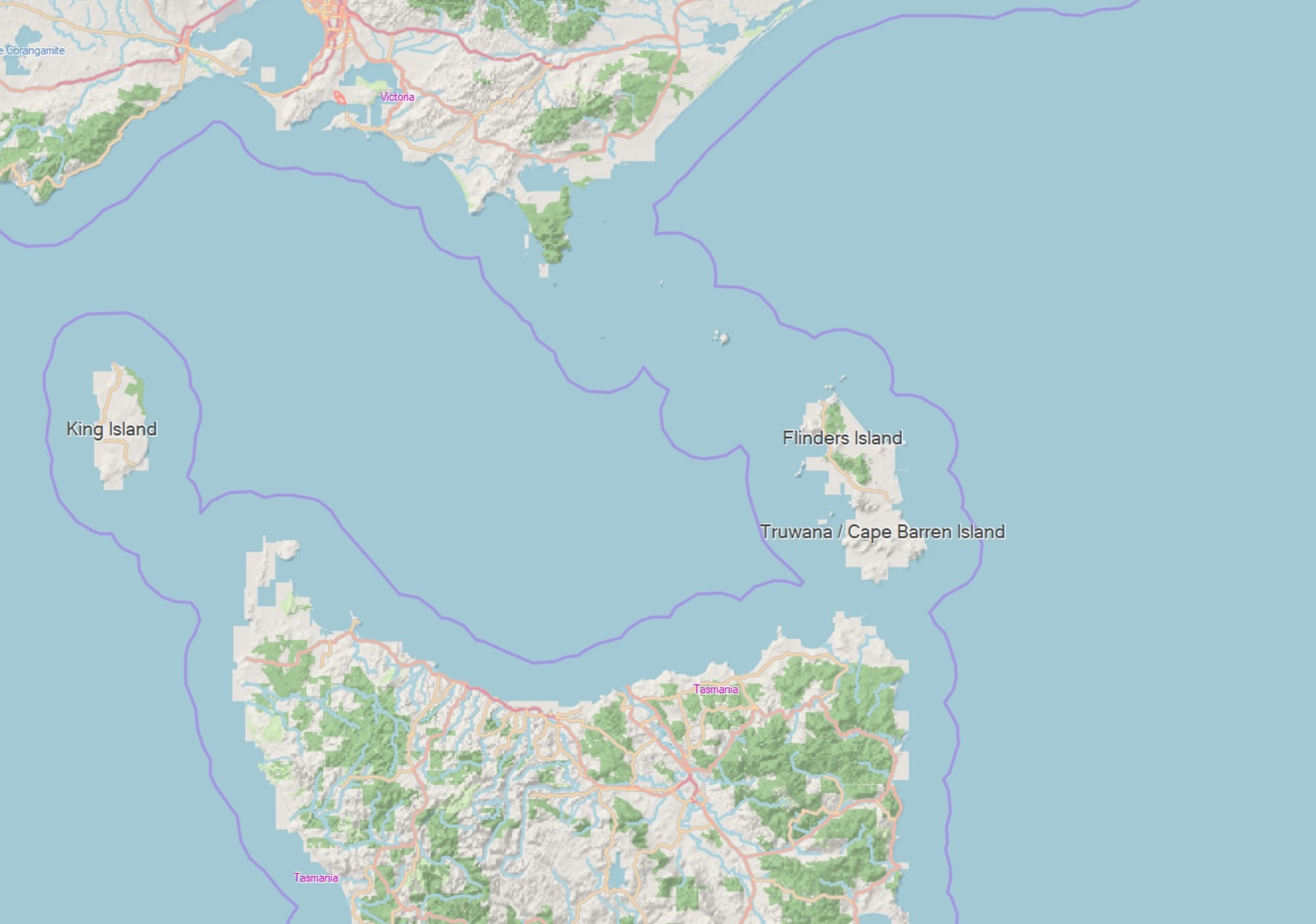
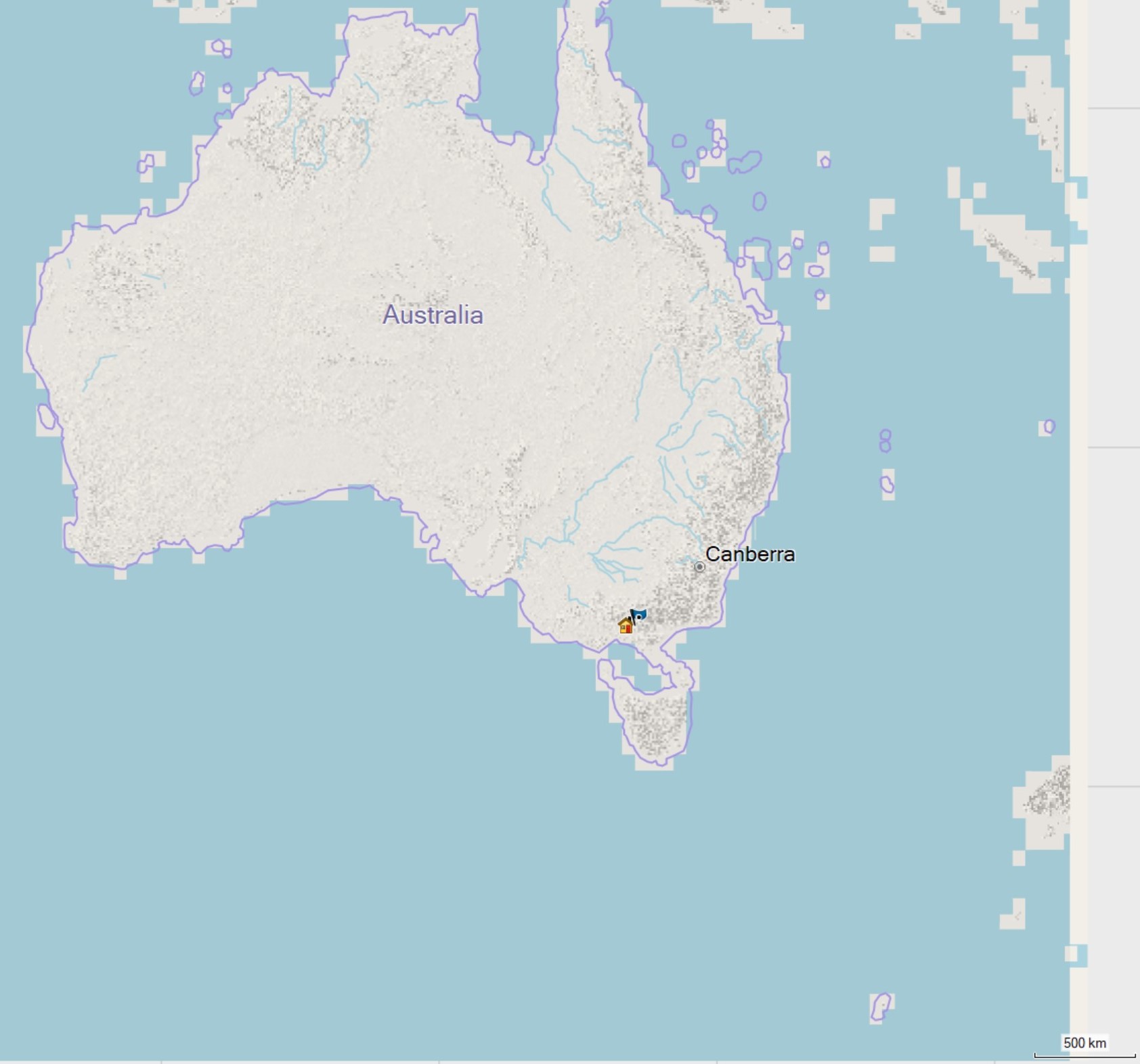
Hi,

I'm not sure this is the fault behavior but I would like to ask anyway.

At higher zoom levels my map is not defined at the edges (land-sea)
please see attached screenshot. The definition only comes at lower zoom:

Basecamp render quality is set to maximum.


Thanks for your help.

Joao
-------------- next part --------------
A non-text attachment was scrubbed...
Name: SharedScreenshot.zoomlevel2jpg.jpg
Type: image/jpeg
Size: 244064 bytes
Desc: not available
URL: <http://www.mkgmap.org.uk/pipermail/mkgmap-dev/attachments/20200915/ab0c5c92/attachment-0002.jpg>
-------------- next part --------------
A non-text attachment was scrubbed...
Name: SharedScreenshotzoom level.jpg
Type: image/jpeg
Size: 194798 bytes
Desc: not available
URL: <http://www.mkgmap.org.uk/pipermail/mkgmap-dev/attachments/20200915/ab0c5c92/attachment-0003.jpg>
- Previous message: [mkgmap-dev] Driving side warnings
- Next message: [mkgmap-dev] Map display detail in basecamp.
- Messages sorted by: [ date ] [ thread ] [ subject ] [ author ]
More information about the mkgmap-dev mailing list