
[mkgmap-dev] what do the 0x4a polygon in the mean?
From Andrzej Popowski popej at poczta.onet.pl on Fri Jan 12 19:36:03 GMT 2018
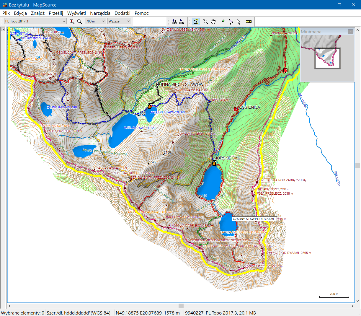
Hi Gerd,

have you remembered to press Ctr-G twice? ;)

I'm sure that you can get expected result. Detailed tile should have its
background 4B clipped and the same shape should be used for 4A and 4B of
overview map. I'm attaching a screenshot from a map created with
cGPSmapper and with DEM supplied by BuildDEMFile. See, that background
of detailed tile is the limit of DEM shading and also shown as a
selection for map transfer.

--
Best regards,
Andrzej
-------------- next part --------------
A non-text attachment was scrubbed...
Name: cgpsmapper.png
Type: image/png
Size: 475317 bytes
Desc: not available
URL: <http://www.mkgmap.org.uk/pipermail/mkgmap-dev/attachments/20180112/0e479127/attachment-0001.png>
- Previous message: [mkgmap-dev] what do the 0x4a polygon in the mean?
- Next message: [mkgmap-dev] what do the 0x4a polygon in the mean?
- Messages sorted by: [ date ] [ thread ] [ subject ] [ author ]
More information about the mkgmap-dev mailing list